Why Sylvania Waters

Location, Location

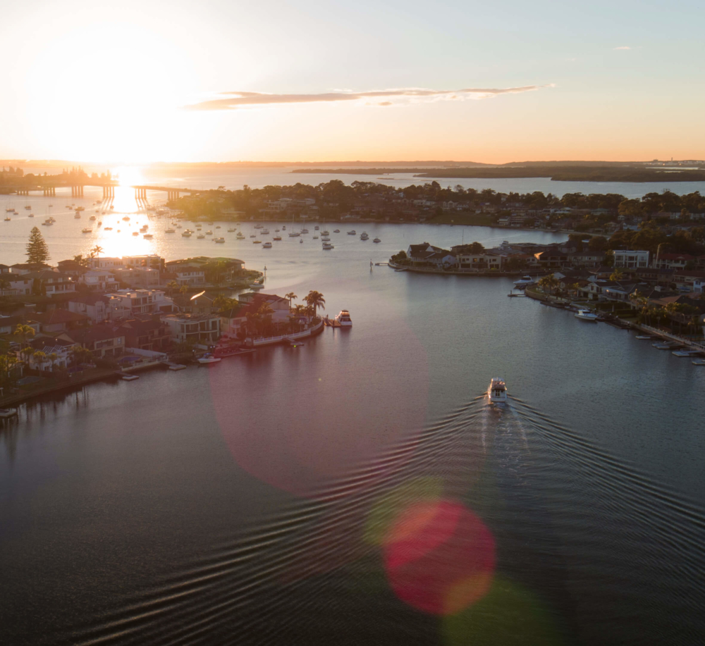
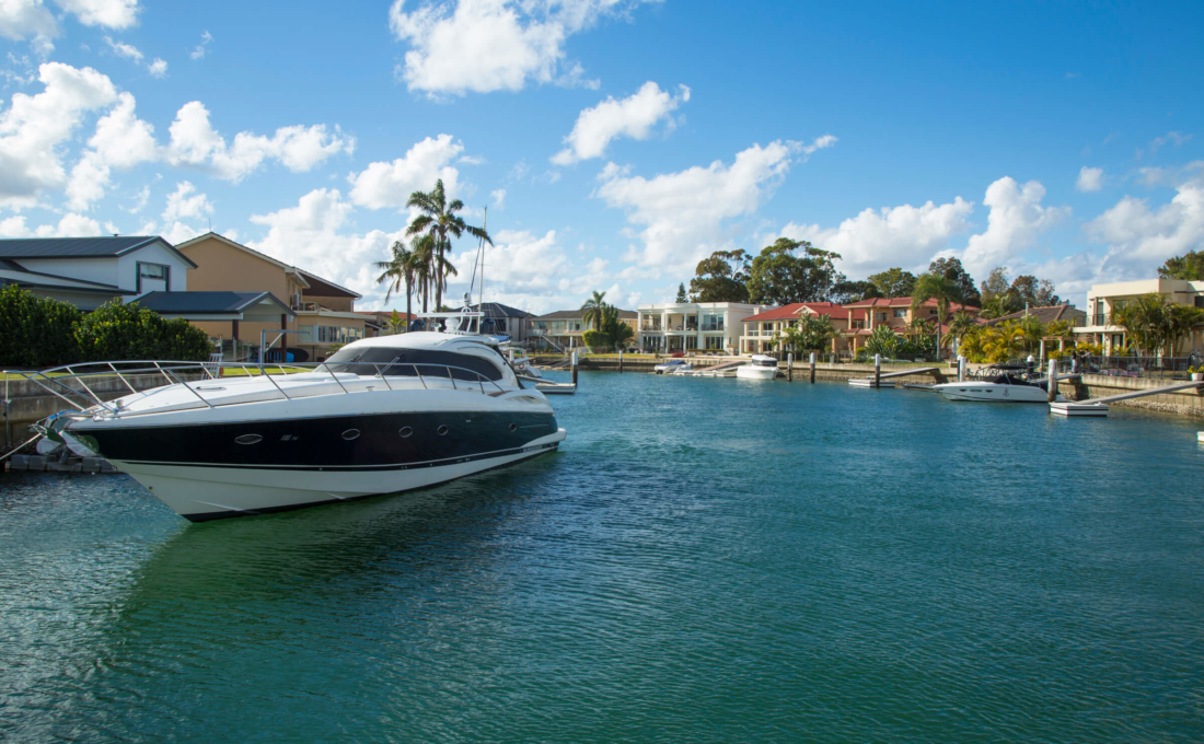
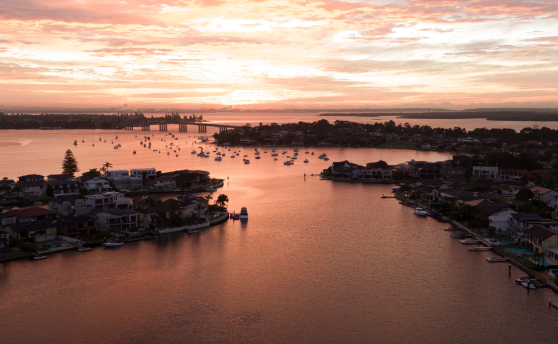
Known internationally as God’s Country, the Sutherland Shire proudly hosts Sylvania Waters as the jewel in her Crown. Sylvania Waters forms the southern and western boundaries of Gwawley Bay and is located at the eastern end of the Georges River and has Taren Point to the east.

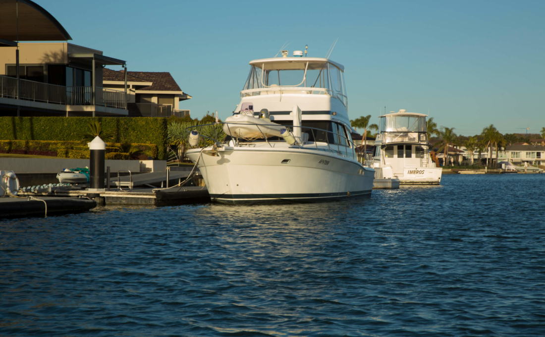
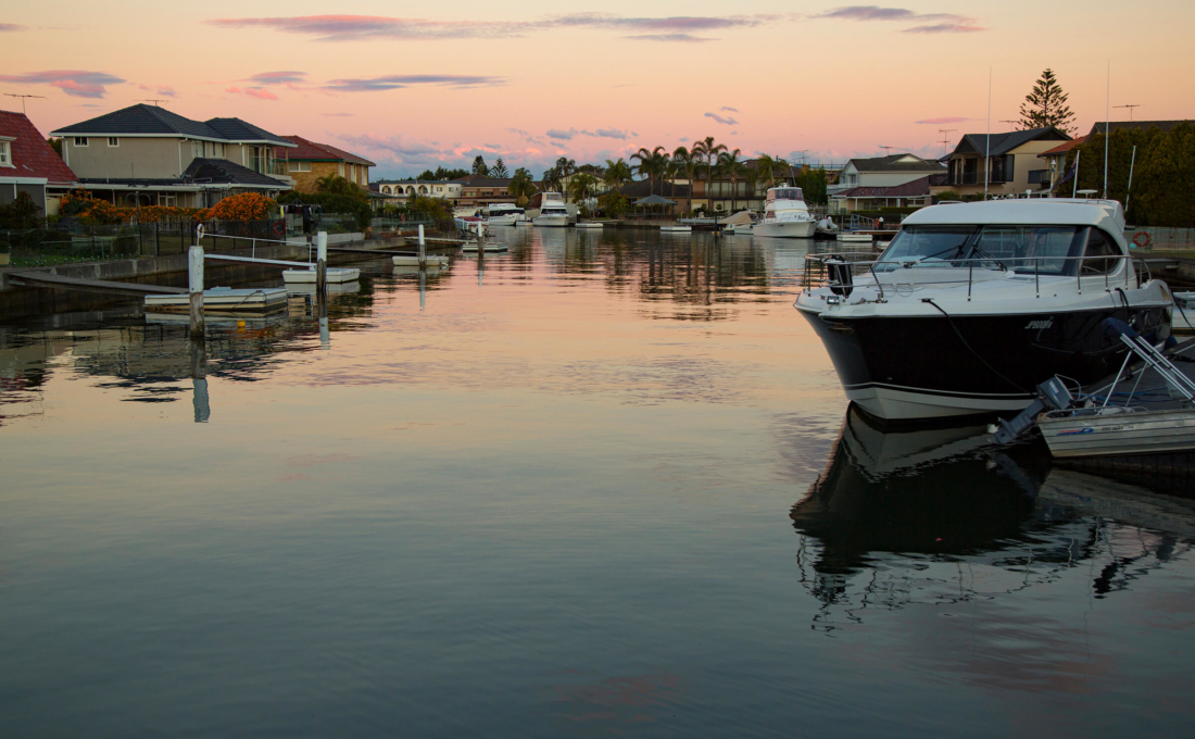
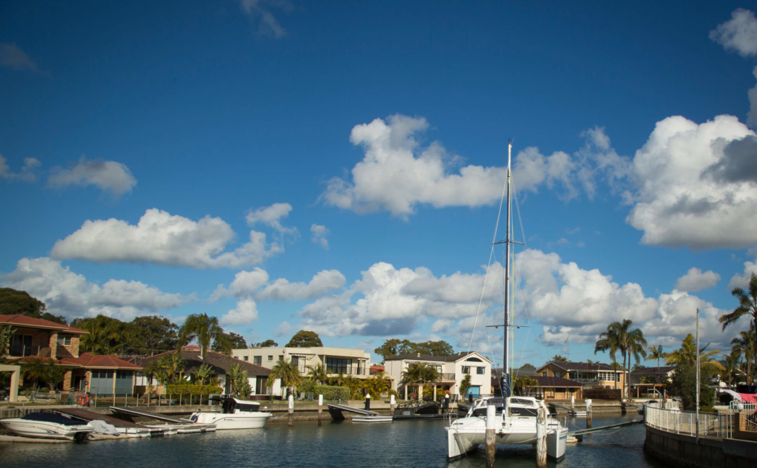
Much of the waterfront areas of Sylvania Waters were reclaimed from Gwawley Bay with many streets and houses built on the three artificial islands.

The main road in Sylvania Waters, Belgrave Esplanade, stretches from Tom Uglys Bridge to Captain Cook Bridge – two of the three main northern entry points for the Sutherland Shire across the Georges River.

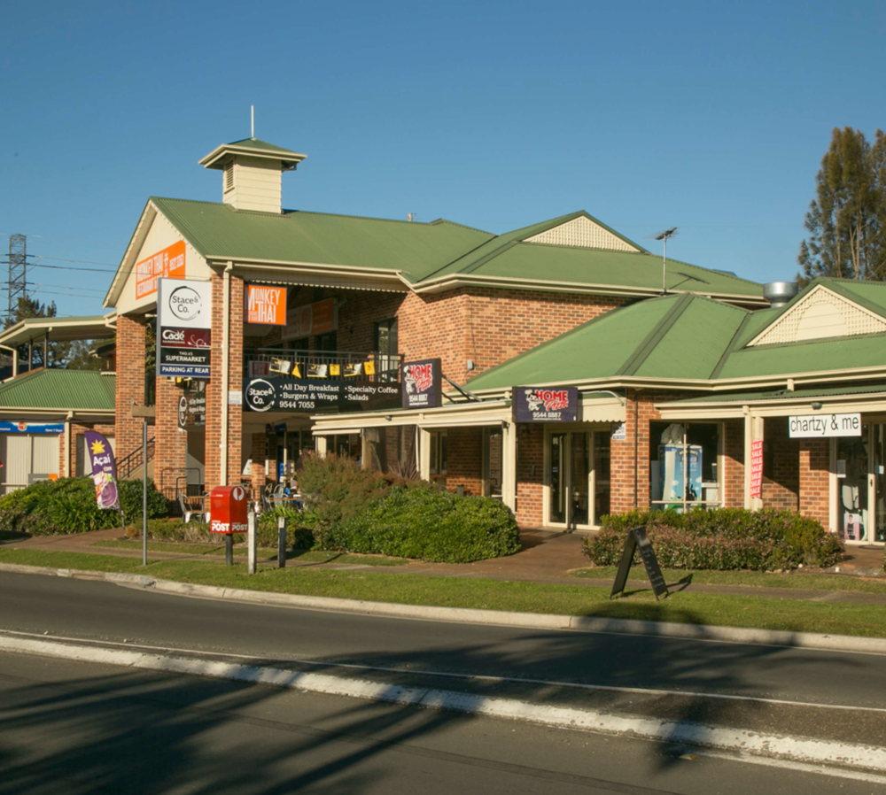
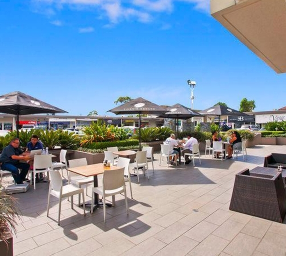
Sylvania Waters is mostly residential with three small shopping strips located on Belgrave Esplanade, near Box Road, near Murrumbidgee Avenue and near Richmond Avenue.


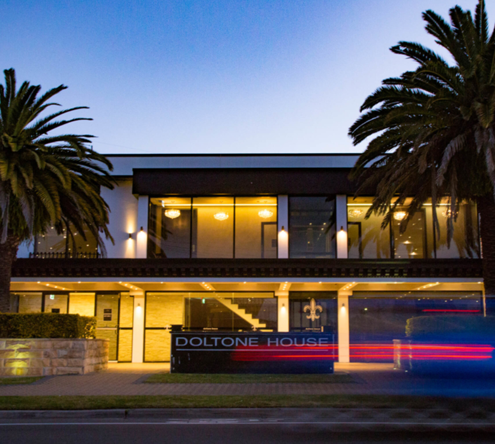
Doltone House is a function centre close to Sylvania Shopping Village.

Local Facilities

Sylvania Waters is home to the Sylvania Waters Athletics Track – a state-of-the-art facility where local and intrastate meets are held, as are many community and charity functions. Next to the track is the Sylvania Waters Tennis Court Complex and Nine Hole golf course.

On the other side of the athletics track is the home ground of the Southern Districts Rugby Club. Next to these facilities is a Baseball field and generous open grassed areas and two more playing fields. We also have three separate community shopping centres within our suburb where most day-to-day needs including health care are catered for.

Boaties Paradise

Every Sylvania Waters waterfront is perfectly flat, street to water. Most homes have elaborate pontoon and floating jetty facilities over deep water.

Most boat owners moor their boat right at their back door and are only a few minutes cruising to the birthplace of our nation, Botany Bay.

3,191

Population

132

Hectares of Land Area

24.09

Persons per Hectare